
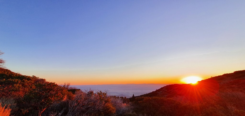
Today may have been the hardest, and most beautiful day yet. It was set to be a long one, so we were up for sunrise. The spot last night was perfectly placed to catch the dawn, which turned everything around us golden orange.
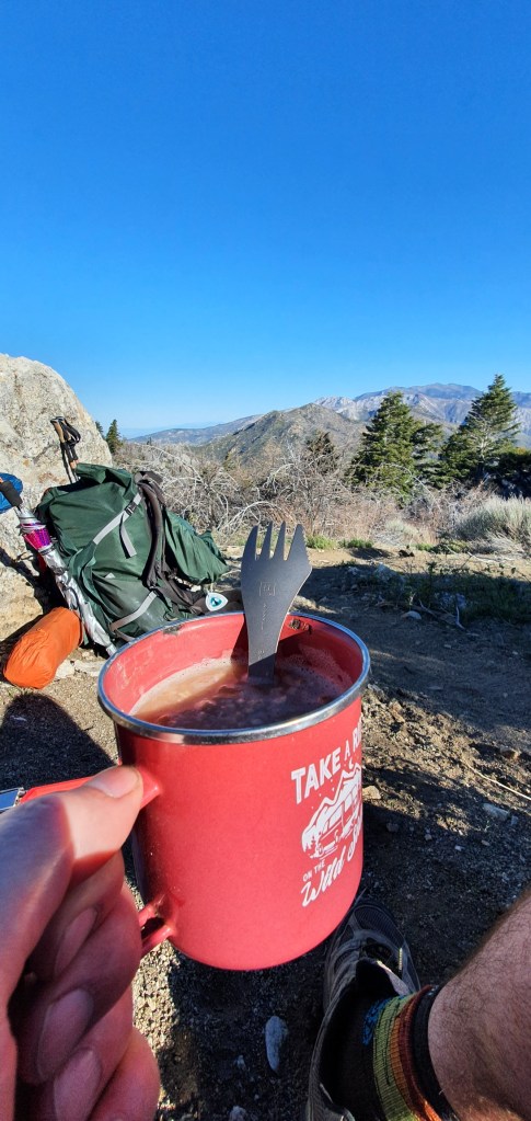
This morning I was packed and on the trail at 6:30 am. The trail followed the ridgeline at first, passing through pine forests and undulating fairly gently. I found a nice spot with some comfortable rocks for breakfast. As I was packing up, another hiker, Junko, caught me up and we stuck together for a few hours.
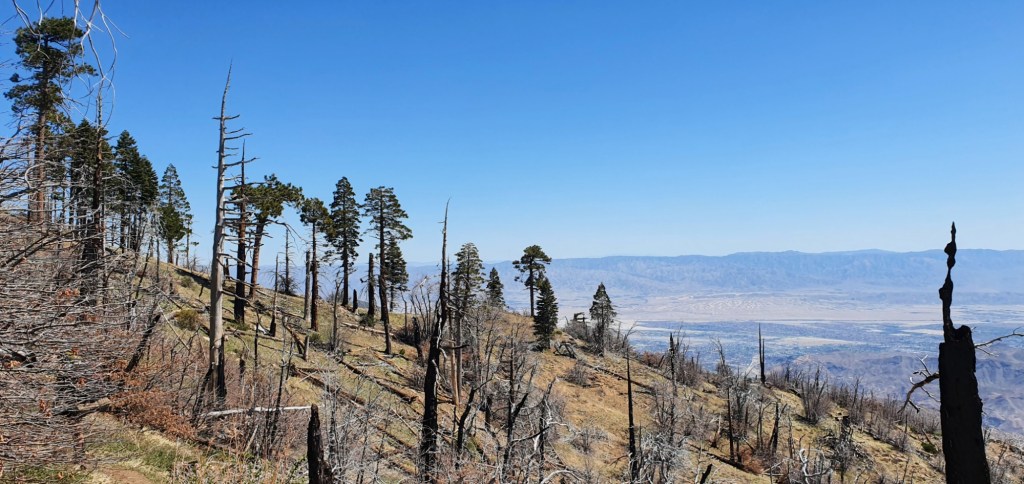
The trail steepened, first with a sharp drop from the ridge, followed by a brutal climb up another ridge. The pine forest on the next ridge had burned recently and blackened trees stood alongside the trail.
Junko was very knowledgeable about plants, and pointed out the species of pine which we were walking under. One species which is apparently more common in Oregon than California is sugar pine, with uniquely long pinecones.

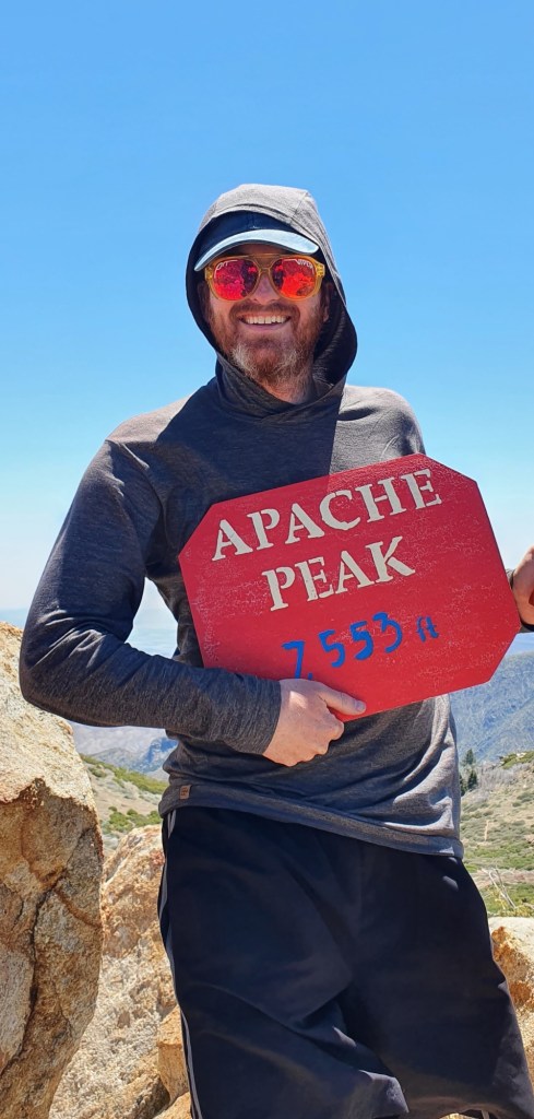
Eventually we reached a junction with the trail down to Apache Creek, a water source which I fortunately don’t need to visit. Instead, I took a side quest and headed up Apache Peak. It was only about 10 mins up without a full pack (once again, glad to have the convertable top). When I got to the top, there was a logbook and a sign to hold in pictures. I also met a day hiker up there and we chatted about hiking around the area here and various tracks and peaks worth visiting.
The trail dropped down and sidled around Antsell Rock, with some fairly exposed drops to the side. I can imagine doing this with snow present, and it would be unnerving. To add to the difficulty, there were a lot of large fallen trees across the path which needed to be crossed with care.
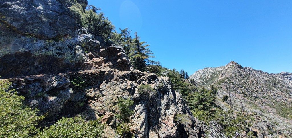
From this point, the climb got serious. The trail headed up and around South Peak, and then climbed past 5 giant rocky spurs. There was another burn zone up there too. Finally the trail eased up a bit at 8300 ft or 2556 m. A hard climb of 1400 ft, or 450m.


After flattening out a bit, the trail continued to climb, just less strongly. The first patches of snow appeared, melting quickly in the heat.

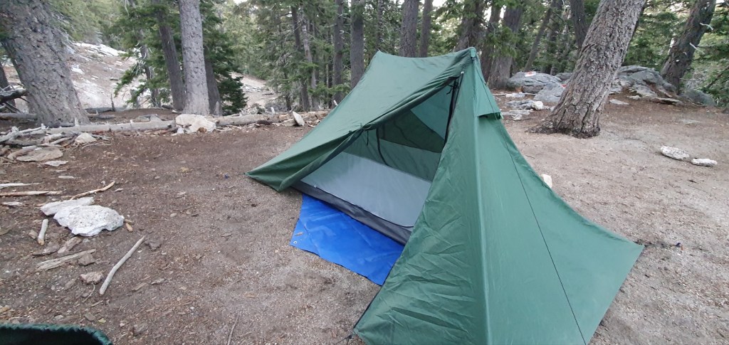
After about 10 hours walking, I reached a campsite near a water source and called it a day. I was sure the others were camped not too far ahead, but I didn’t have anything left in the tank and the sun was getting low. Overall, today had been 14.6 miles, 23.5 km, with 3996 ft, 1218 m of climbing, and 2631 ft, 802 m of descending. The campsite I found was at 8127 ft, 2477 m, the highest campsite I’ve ever had.

Leave a comment