
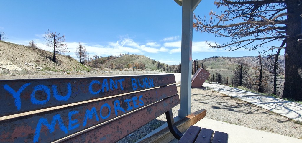
Today we left Wrightwood just before lunchtime, and covered approximately 10 miles, 16 km. Of that, about 5 miles was on a road closed to vehicles due to a fire in the past. We climbed Mt Baden Powell, had dinner at the summit and continued until dark to set up camp at 8855 ft, 2700 m.
This was the first piece of trail to affect me with a closure, unlikely to be the last. Fortunately, it was possible to walk the highway around the closure, and with no vehicles on the road it made a nice walk around.
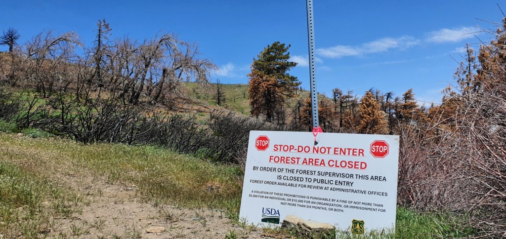
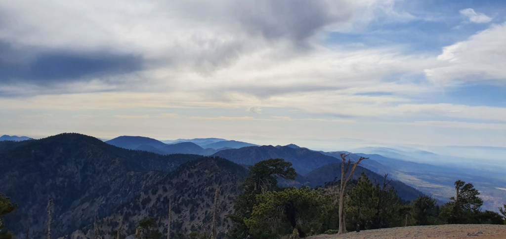
The road took us over the hill from Wrightwood, and back down to Vincent’s Gap. From there, we started the long and steep climb up Mt Baden Powell. The track made dozens of switchbacks and climbed for several hours, offering ever more rewarding views.
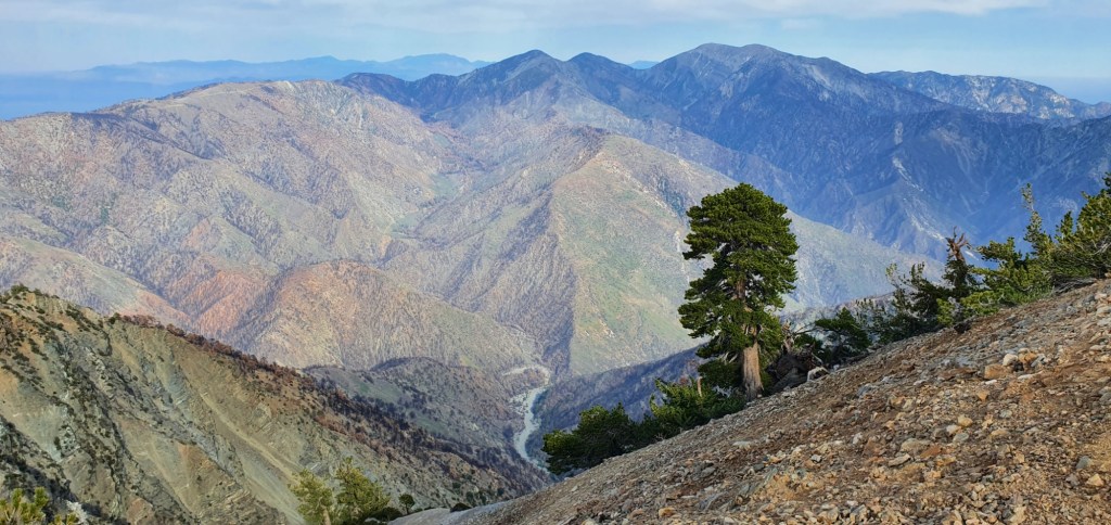
At the top, we got views in all directions. The mountain stands right up against Los Angeles, so we could see the edge of the city. There was a thick layer of smog over the entire city and I’m sure we would have seen more if it were clear down there. In the other direction, we could see more mountains stretching northwest. The LA smog flowed like a river over the smaller mountains and poured into the desert.
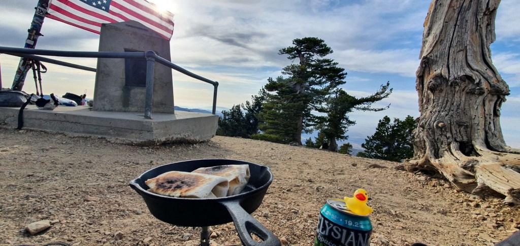
At the summit, we set up to cook dinner. I’d also packed out a can of beer, so I could enjoy a summit beer with my dinner.
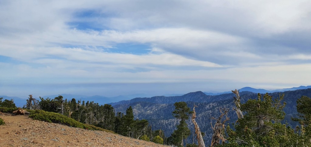
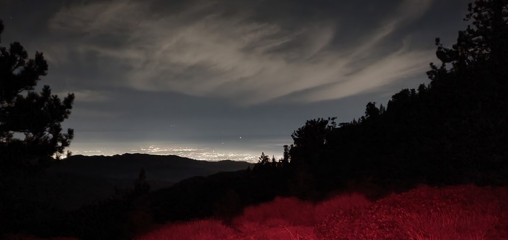
After dinner we headed down the ridge between LA and the desert. While we traveled, the sun dropped below the horizon and we saw the sunset from the side of the ridge.
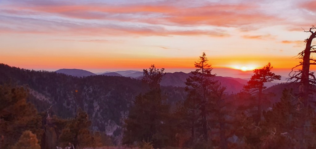
After sunset, we continued walking through the twilight. Just as it started to get dark, we arrived at a trail fork with flat tentsites nearby.
We set up camp and prepared for bed with the lights of LA twinkling below. It’s good to be back in the mountains again, and camping up at nearly 3 km altitude I could feel the elevation.

Leave a comment