
Today I covered 14.4 miles, 23.1 km from the tarn to Crabtree Meadows. The campsite at Crabtree Meadows is used as a basecamp for hikers to set up, rest and then summit Mt Whitney without having to pack, or carry all of their heavy gear with them.
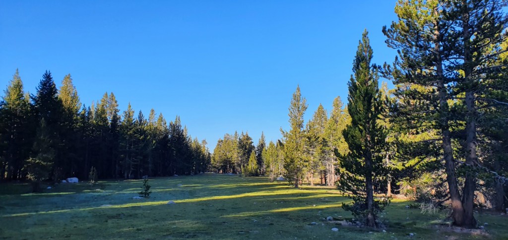
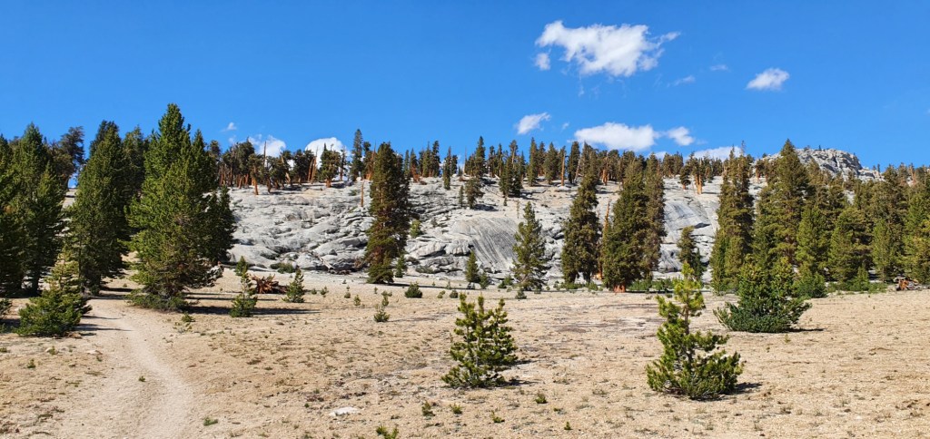
The day starts off very gentle. I walk through meadows with good tree cover and descend slightly as I go. I’m glad for the gentle trail, as my pack is heavy from resupply in Lone Pine.
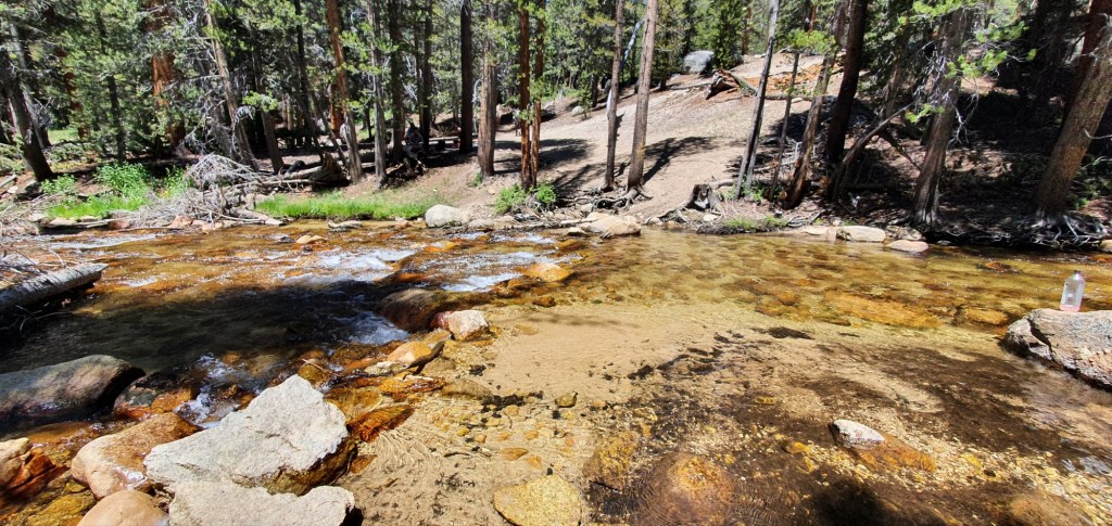
After a few hours, the descent quickens and takes me down to Rock Creek. This is the first real river crossing on the PCT, the water is about 10m wide, calf deep and pretty slow flowing.
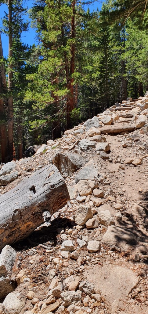
The climb up from Rock Creek is a sharp wake up call. The trail regains all the elevation lost on the way down to the water, and then some. Tall steps and steep switchbacks test my legs for about an hour until I reach the top.
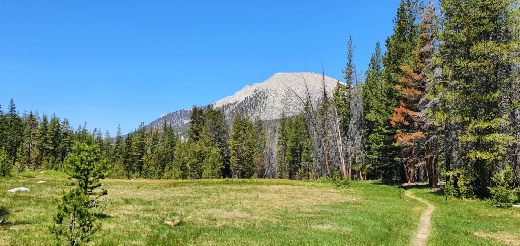
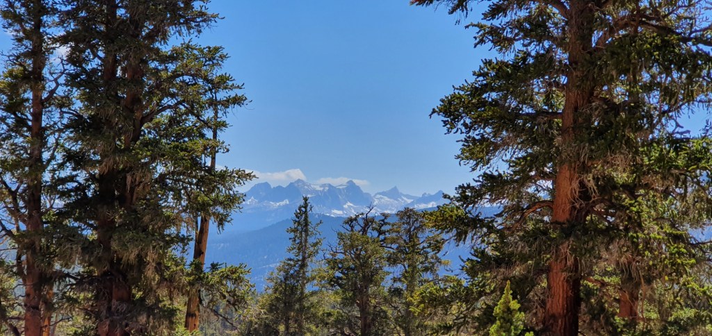
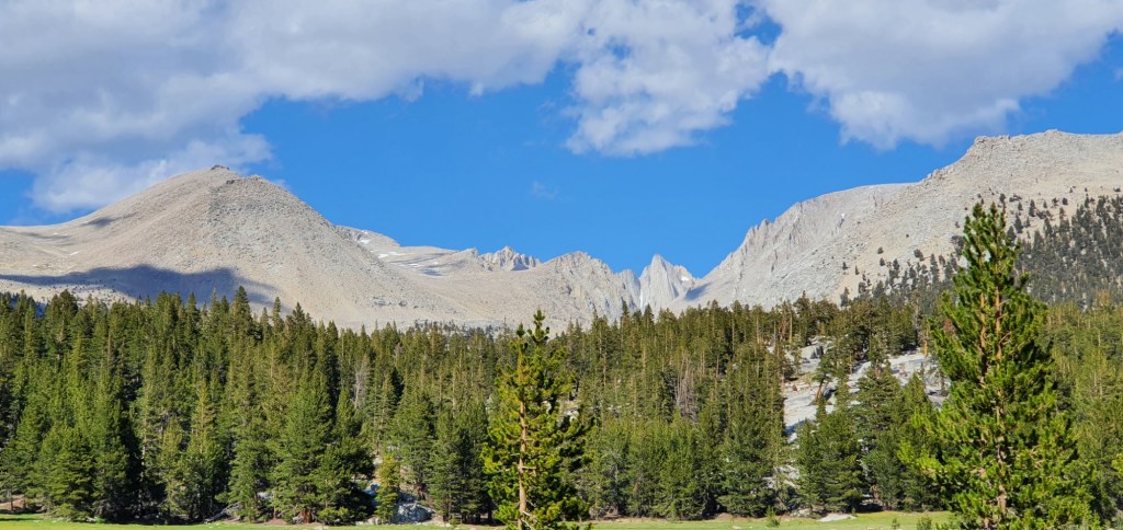
After the climb, the trail flattens off again and I return to walking through plains and meadows. On this section, I get to see views of high mountains around me and far off peaks, distant now but soon to be much closer.
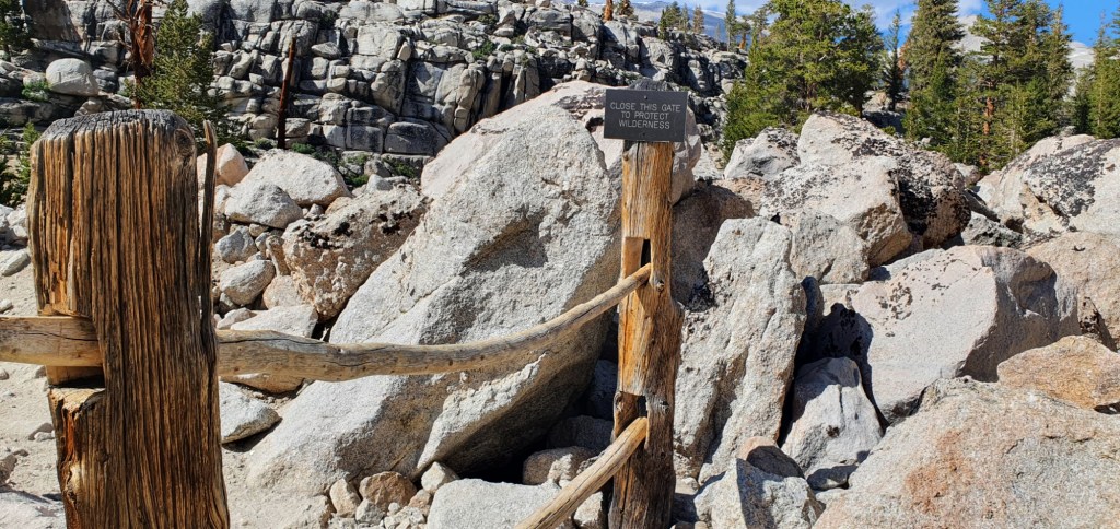
The trail makes one final descent down to Whitney Creek. On the way down, we pass a gate which has received so many comments on the map that I had been itching to see what all the fuss was about. It didn’t disappoint, two beautifully crafted sticks are held up by strong and very old looking posts, with ample room each side to easily bypass the gate. I decide it’s essential to to make the effort of going through the gate, rather than stepping around it.
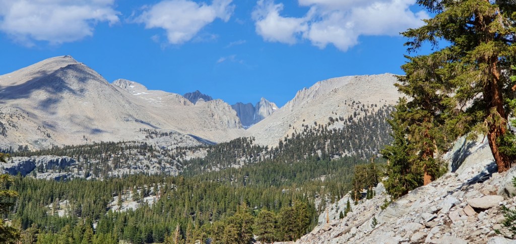
Down at Whitney Creek, I can see some big mountains up the valley. From this angle I’m not sure if I’m looking at Whitney, but I do know that tomorrow’s climb will be at least as high as what I can see.
After about half an hour walking up the side trail, I arrive at Crabtree Meadows. Here I set up camp, catch up with a bunch of other hikers who have just completed their summit, and get ready for my own trip up tomorrow.

Leave a comment