
This morning I crossed Mather Pass at 12094 ft, 3686 m. Camping close to the base meant I had fresh legs for the climb, and with my acclimation back I was able to enjoy the steep push that comes at the end of these passes. In the afternoon I made the long descent into Palisade Creek, from the top of the pass, down to 8428 ft, 2569 m. After the pass and creek decent I had covered 12.5 miles, 20.1 km.
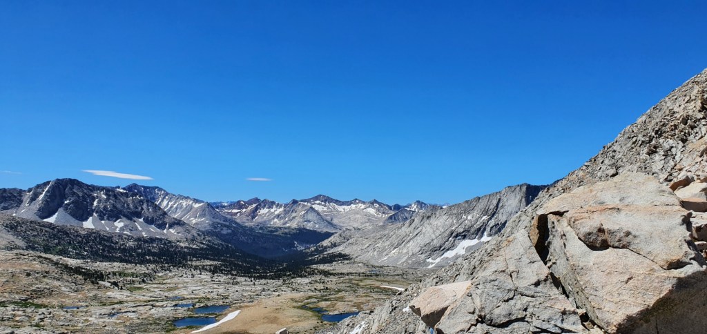
When I left camp this morning, I was amongst sparse trees and rock fields. I could just see Mather Pass up in the distance. Behind me, way off in the distance, I could see the red mountains from yesterday.

After about an hour walking from camp, Mather Pass stood before me like a wall of rock. I had one last chance to scoop some water and appreciate the view before my climb began. My legs had just finished warming up and I felt ready to tackle the pass.

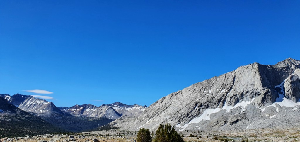
The climb took an hour, but it really didn’t feel like it. I stopped once, halfway up, to catch breath and take a sip of water. At the top, there is a short push and a couple of steep switchbacks just to let you know that you’re nearly there.

Descending the other side was more difficult. The trail was rocky and uneven, with every footstep slightly unstable. There were a few tiny snow patches, but they could be almost entirely sidestepped on the rocks and I didn’t need my spikes at all.
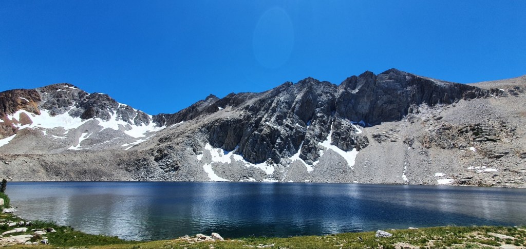
Off the face, the descent leveled off slightly and took me past the Palisade Lakes. We passed high above the lowest lake, walking on smooth rock marked by small stones. A quick descent to the water’s edge had us walking along the shoreline. All of this was just a quick break from the real descent though.
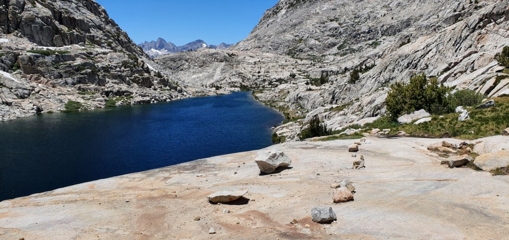

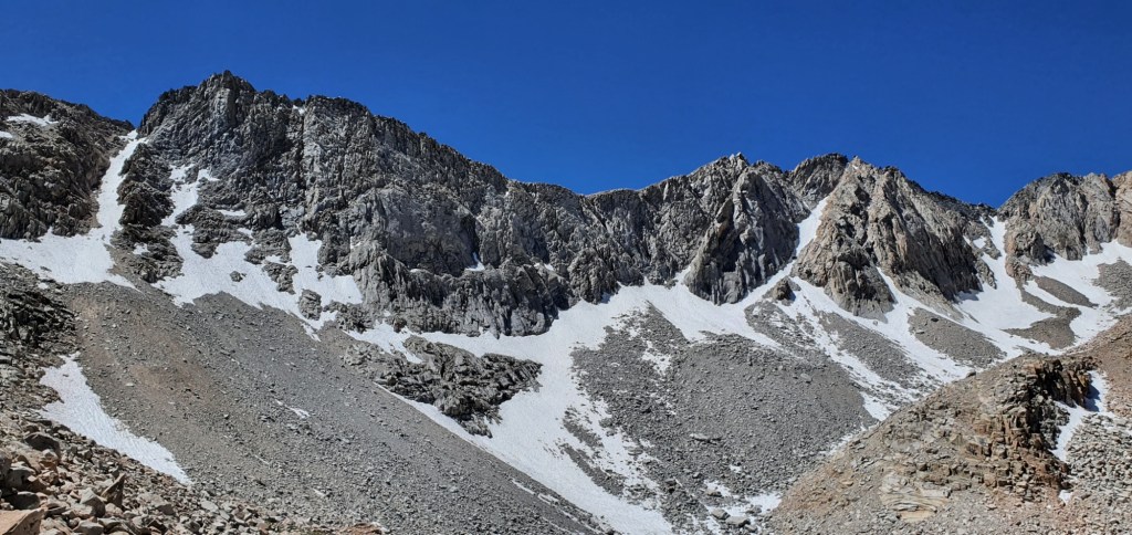
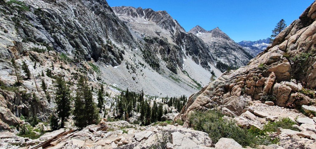
In the space of just 1.3 miles, 2 km, the trail drops by 904 feet, 276 m. The view into the valley from the top is spectacular. As with most spectacular views, it doesn’t come for free, and this descent is a killer on the knees.

The descent comes down the Golden Staircase, a section of trail which was created by blasting huge granite boulders and carefully fitting the pieces together to make a passable trail up the rock face. From the below it looks like sheer cliffs with a huge pile of rubble at the bottom.


After the descent, I’m rewarded with a trail through beautiful forest, full of wildlife and not so many bugs. One thing I hadn’t expected was all the different smells. There are hundreds of different flowers, herbs and grasses I can smell and it’s all so good. I don’t know if it’s the drop in altitude, but the forest smells great, even the dirt and wood on the ground add to the experience.
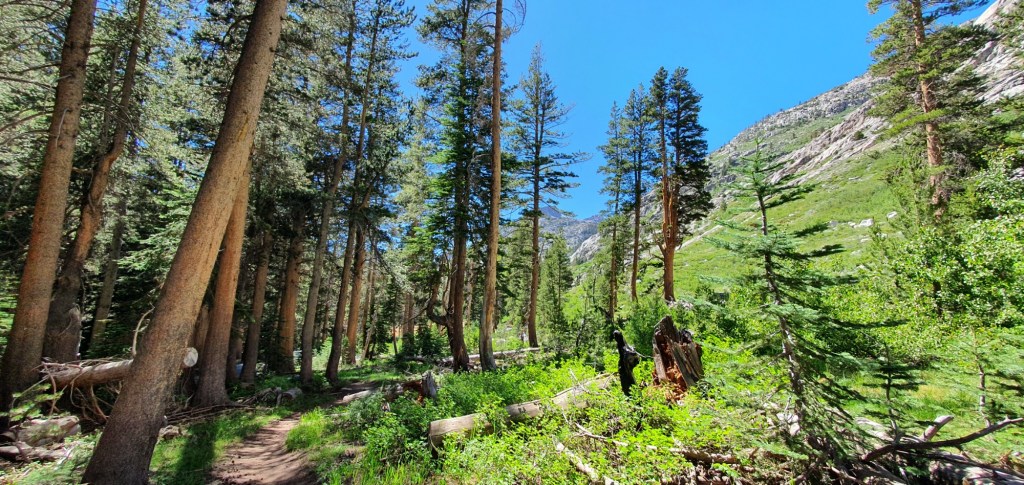

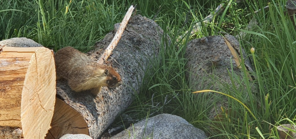
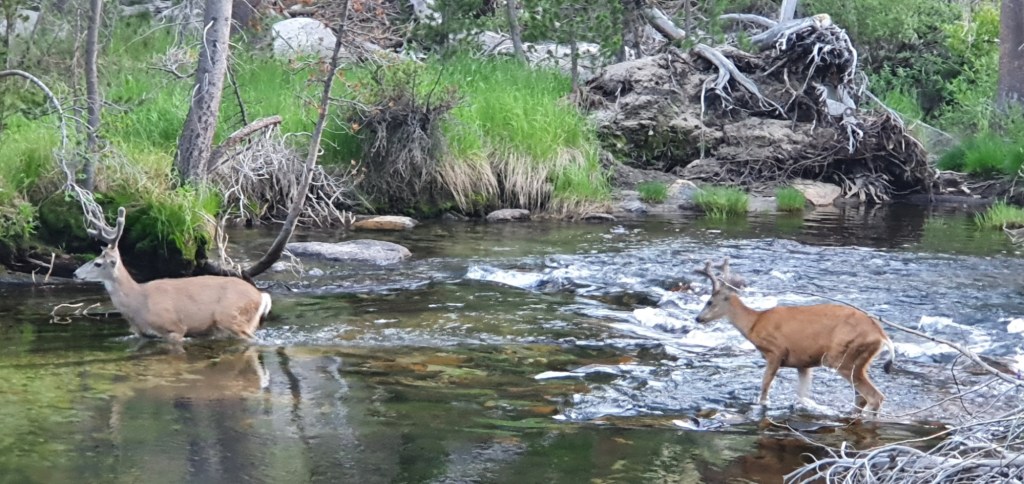
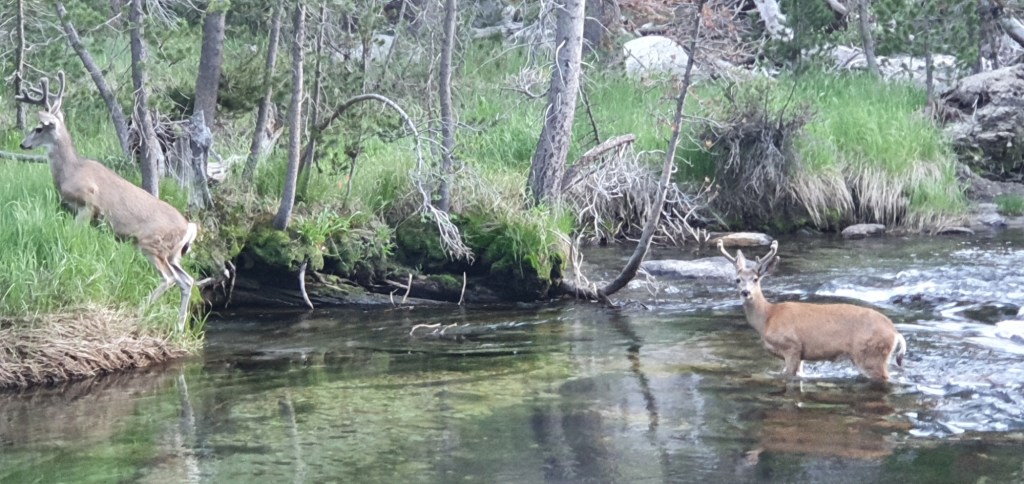
I make camp in the forest next to the Palisade Creek, and I make the most of the opportunity to take a refreshing dip. While I’m cooking dinner, some deer walk through my camp not even 10 m from me, the deer notice me on the way past but they don’t even seem worried by my presence.

Leave a comment