
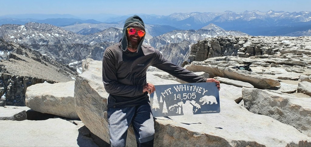
Today we left camp set up at Crabtree Meadows and pushed up to Mt Whitney summit. The trail runs 7.3 miles each way, which means today was a 14.6 mile day, 23.4 km return. The summit is at 14,505 ft, 4421 m and the air up there is thin enough to really affect energy.
I was up just after 4 am, and since I didn’t have to pack up camp, I could be ready to leave quickly. I organized a day pack for myself with snacks and extra warm clothes for the summit, just in case. While walking around camp in the dark, I bumped into Rox who I’d been chatting with the day before. We decided to both summit together, and left camp just before 5 am.
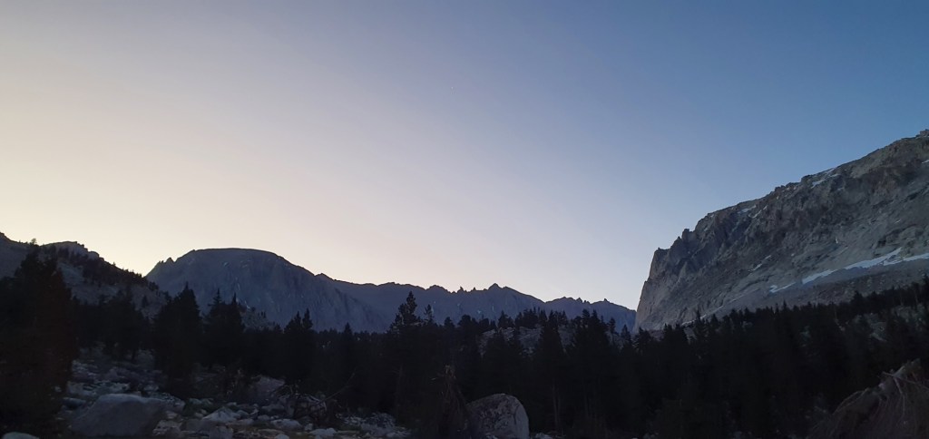
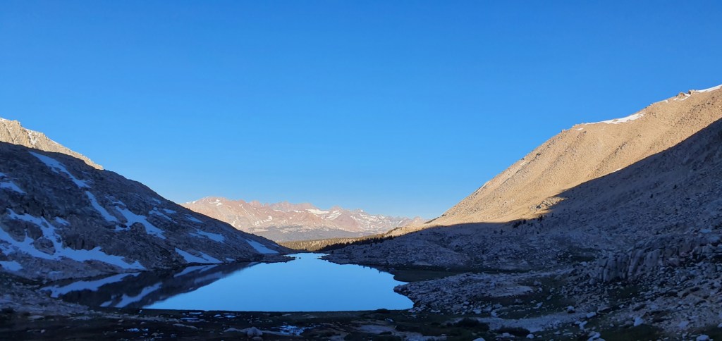
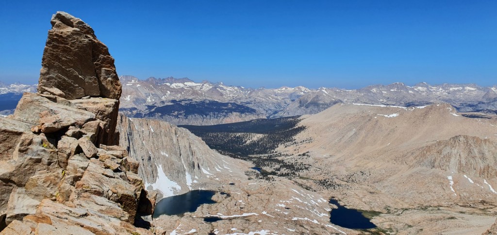
As we climbed up the valley, past perfectly still lakes, the sky began to lighten with the approaching sun. Gradually the landscape began to reveal itself to us; it was rocky, barren, slightly icy and very steep. Grasses and small trees grew on the flats around the lakes, but absolutely nothing lived on the steep valley walls.


We passed Guitar Lake, and the sun struck the huge rocky cliffs surrounding the valley. We knew there were people on the summit watching this sunrise, they left camp at 11 pm last night, but we were so glad to be in the valley to see it light up instead.


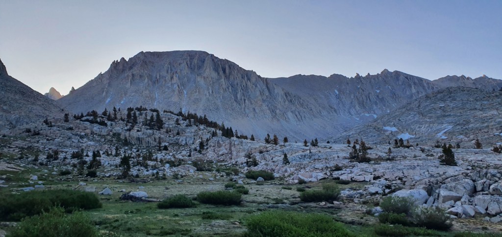
By the time we’d got around Guitar Lake and started climbing properly, the sun had risen across the landscape. Our valley was still in the shade of Whitney, and it would be some time before we felt its warmth.
We climbed extremely quickly, what had previously looked like towers of stone began to stand below us. On the way up, we saw groups on their way down, bringing good advice for us about our climb up. Everyone coming down looked exhausted, a warning for us later. I even bumped into a YouTuber who did the PCT last year in 90 days, Carl Blanchet. He’s come back again this year to do it again, slower this time and enjoy more of the side quests like Mt Whitney.

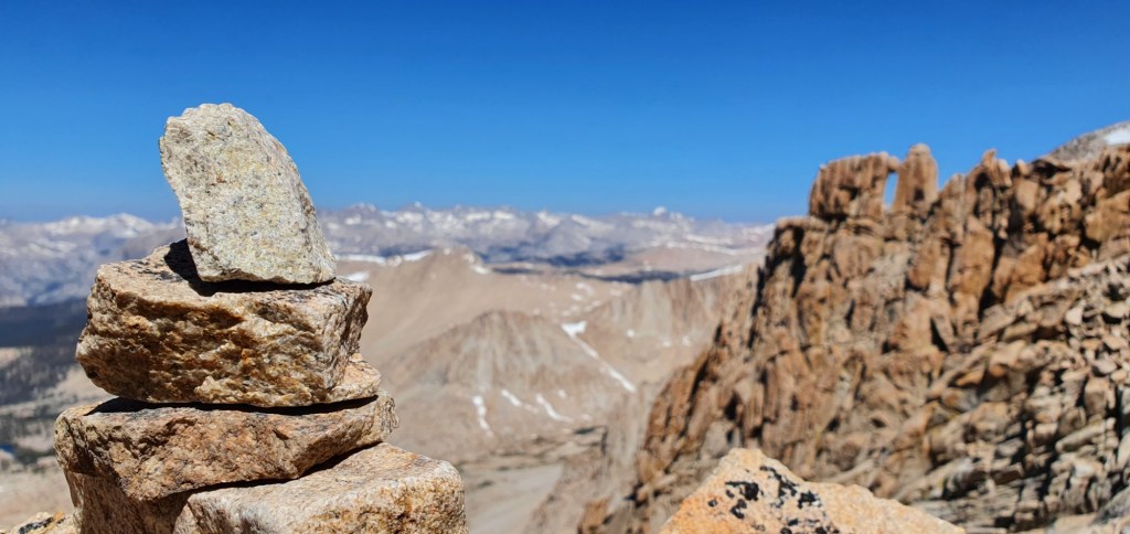
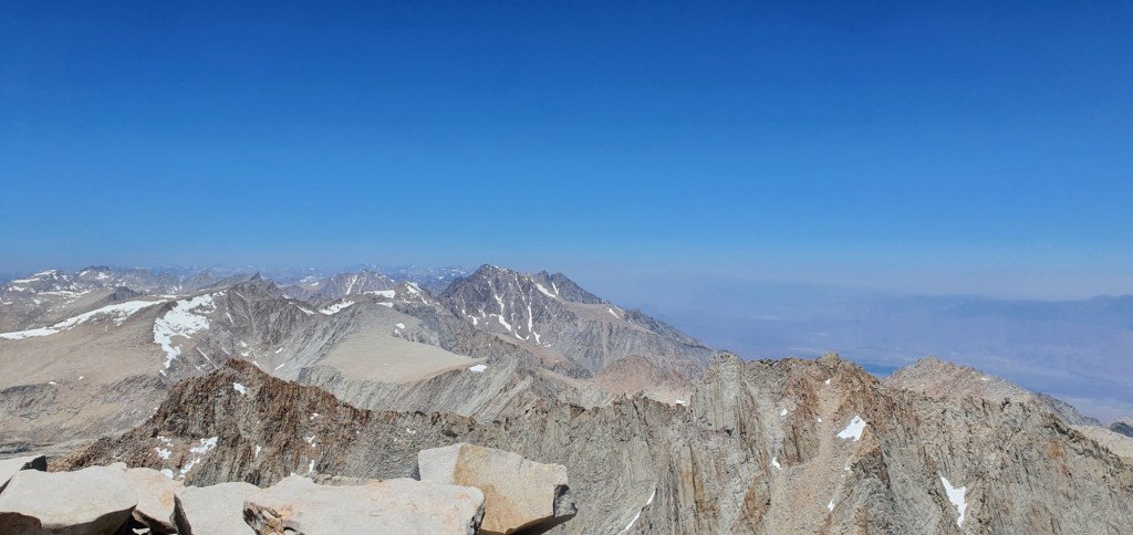
The last 2 miles of climbing are shared with day hikers who have come up from the east side near Lone Pine. The views along the way are phenomenal, and I can’t help stopping for photos every 10 minutes.
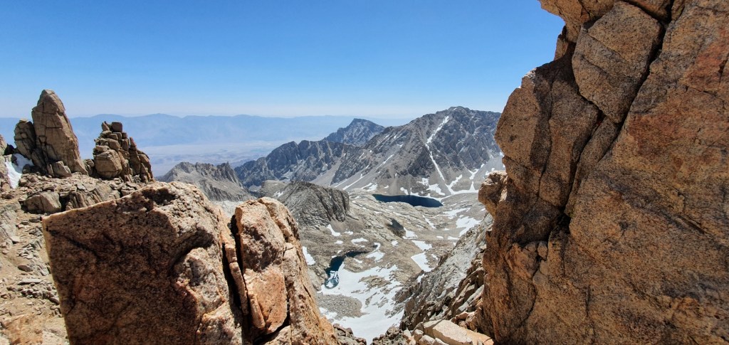
The final push to the summit happens in slow motion. The thin air limits our movement to less than half a mile an hour, any faster causes our muscles to burn as they can’t get enough oxygen to work. Every step needs a full breath of air, and I keep my head down as we traverse the last snowfield.

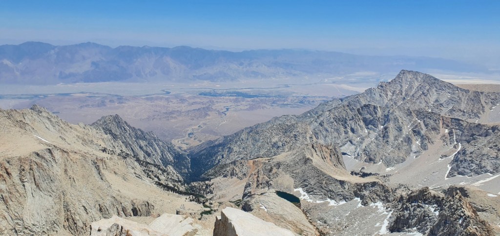
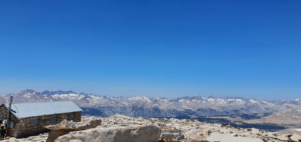
We hang out on the summit at 14,505 ft, 4421 m for about an hour and a half. The air makes everything feel surreal, and every small movement has me gasping for breath. I can only imagine how people coming up from the Lone Pine, or even sea level are feeling. This is the highest mountain in the contiguous USA, and there is nothing around to obscure the unbeatable view. There is no wind, and the sun is powerful so it’s almost hot up here. I don’t need any of the warm gear I lugged up, but I guess that’s the whole point of carrying it.

At 2 pm, we begin our descent. It’s so much faster than the climb and we barely notice the thin air. The hikers coming up all look completely shattered, many of them have come all the way up from ~4500 ft and probably have no acclimation. For 3 hours we fly down the mountain, poor knees taking the beating of a lifetime. I’m glad I took a pair of wooden sticks up with me to replace my trekking poles, which are busy holding up my tent. We get back to camp around 5:30 pm, absolutely spent and more than ready for dinner then bed.


Leave a reply to zestfuld12475e33b Cancel reply