
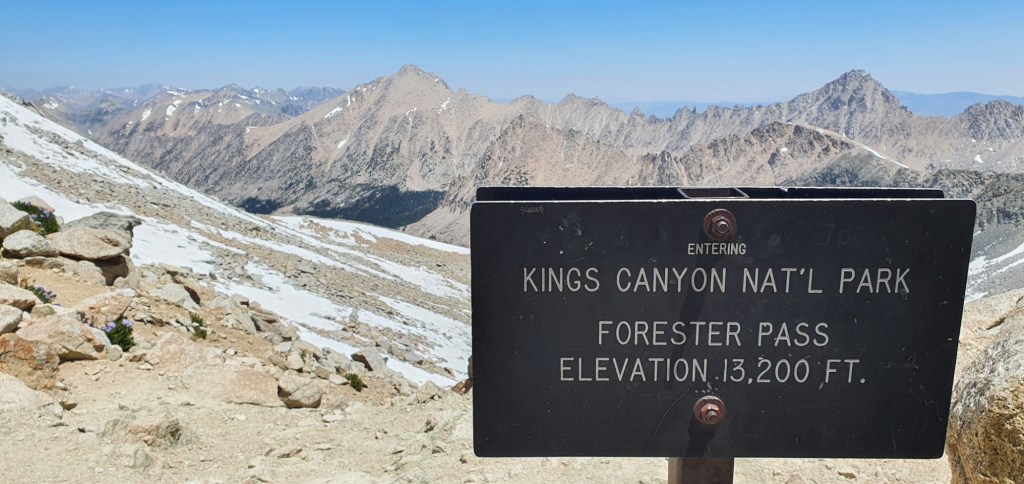
We went over the highest point on the PCT today; Forester Pass, at an altitude of 13 200 ft, 4025 m. The day was packed with epic views as we walked 12.3 miles, 19.8 km through the most stunning mountain landscapes on trail so far.
When we left camp this morning, we were immediately climbing through beautiful alpine meadows. The air was so fresh and crisp from all the mountains around us, and the sun was warm on my shoulders.

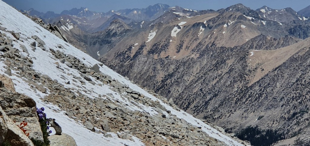
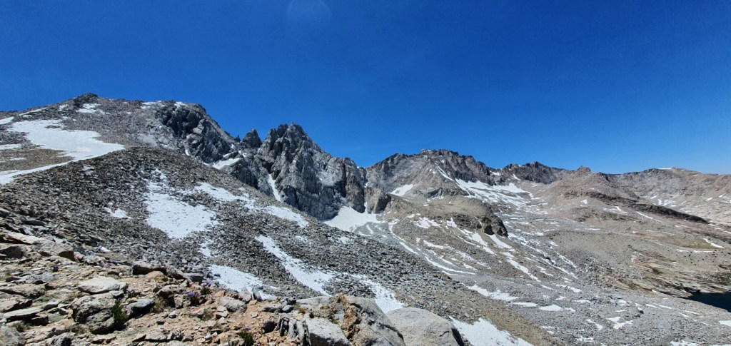
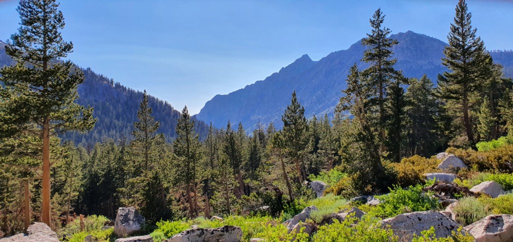
The trail climbed gradually, but ceaselessly. All around me were high mountains, still with snowy patches from the winter. Far off mountains came into view, many of which I remember first seeing days ago.

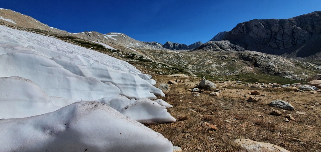
As the trail climbed, we started to see the first snow patches over the pathway. At times the trail was buried in snow and hard to follow. People would each find their own way around the snow and bootprints would diverge, disappear and converge again.
On the final approach to the base of Forester, I stop at a pristine water source. An ice cold stream of crystal clear water emerges from under the snow. 1 L should be enough to get me over the pass and down the other side. I also drink deeply before leaving this spot to help me carry less.


Shortly after the stream, the switchbacks begin climbing up to the pass. The trail gains elevation very quickly from here. Each switchback follows right above the last and it feels as if we are climbing an almost sheer face.
Just before the top, the pass enters a narrow chute still full of snow. Fortunately, the trail passes just below a snow cornice, and climbs the other side over rocks. I imagine that not so long ago, this would have been a precarious stage.


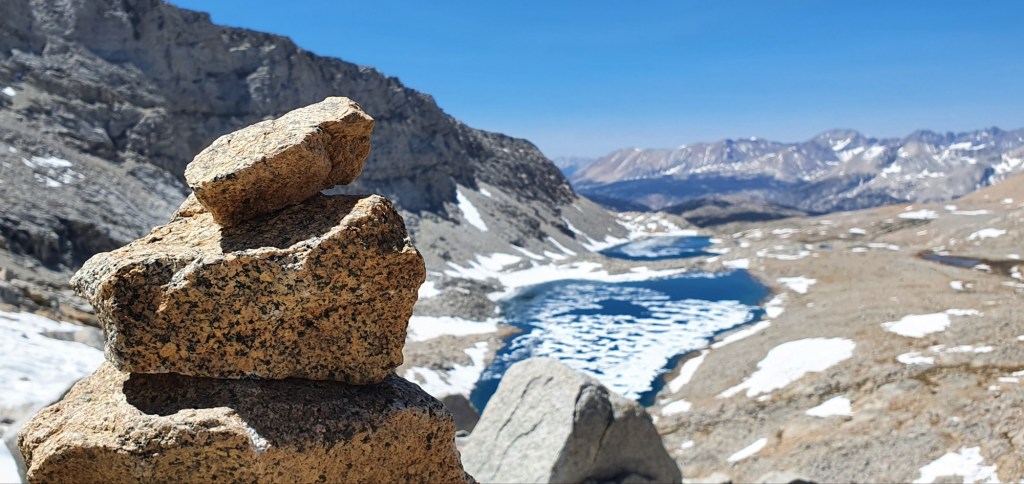
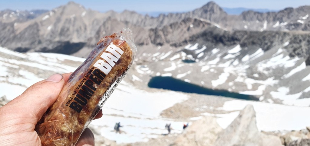
Moments later, I’m at the top of Forester Pass, the highest point on the PCT. I spend some time up here, enjoying the view, taking photos and eating snacks I brought all the way from home; Whittaker’s chocolate and a Bumper Bar. The views from here are unreal, and I feel incredibly privileged to enjoy them in perfect conditions.
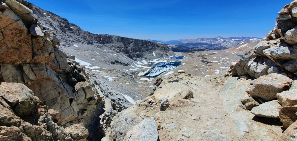


On the descent, the trail makes a couple of small switchbacks, but soon becomes a snowfield. For the first time, I can use my microspikes and and ice axe to help with traction and stability.

Below the snowfield, the trail descends mostly on rocks and gravel. Some small snow patches remain but these can be mostly avoided by following fainter trails through the rocks where others have been before.
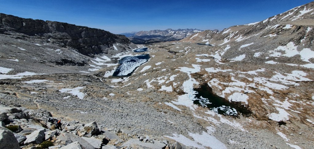
I stop by a crystal clear lake, top off my water and appreciate the surroundings. Forester Pass is visible above the lake and it’s amazing to see how far I’ve descended in what seems like such a short time.

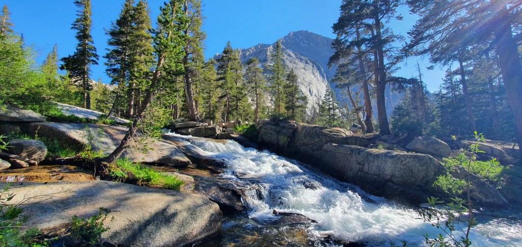
The trail continues to descend at a more mellow pace, past more deep blue lakes and into the valley. We soon get low enough to reach grassy meadows, as we get lower, the mountains tower above once again.

Further down the valley, we enter back into forest. The snow melt from above feeds into wide streams which occasionally cross the trail. The streams combine into a proper river which crashes over the rocks and follows alongside the trail down the valley.
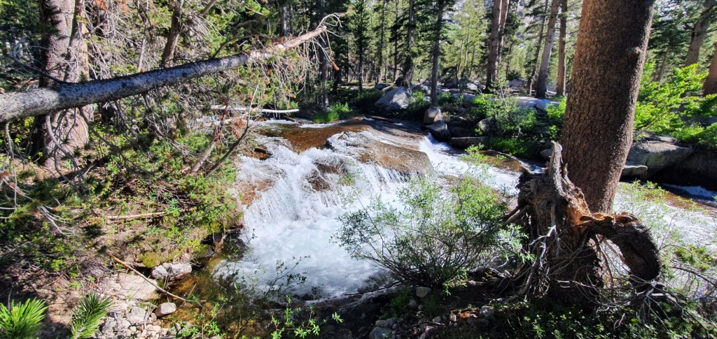
All the fresh water in the valley, and the warm sun makes the forest lush with new growth. I walk through the forest for a few more hours to find camp under the trees at the Lower Vidette Meadow.

Leave a reply to Jesse Cancel reply