
Today I covered 8.7 miles, 14 km to exit the Sierra over Kearsage Pass for resupply in Bishop. Amazingly, I met the two hikers from the other day at the trailhead, beers in hand and waiting. They gave me a ride to Lone Pine, an awesome night at the saloon, and we even got food from the Chinese restaurant which I missed last time I was in town.

When I woke up this morning in Vidette Meadows, the mosquitos were already out in force. I ate breakfast quickly and packed up while wearing my rain gear to keep them off my skin. 10 minutes after leaving camp, we began our climb out of Bubbs Creek and up towards Bullfrog Lake trail junction.


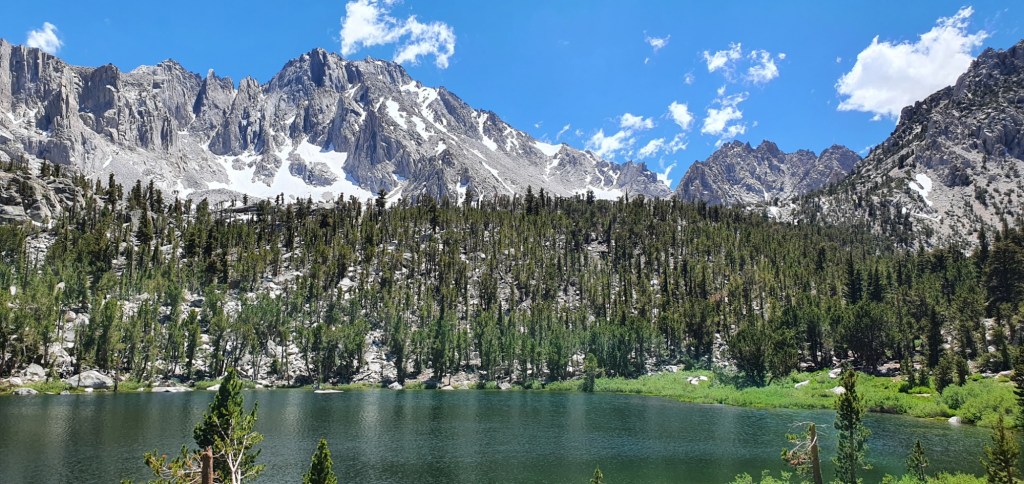
At the top of the valley wall, the first of two trails up toward Kearsage Pass begins. This trail follows a high valley past several lakes before the steep climb out. The first lake to pass is small and shallow with grassy shores teeming with life.

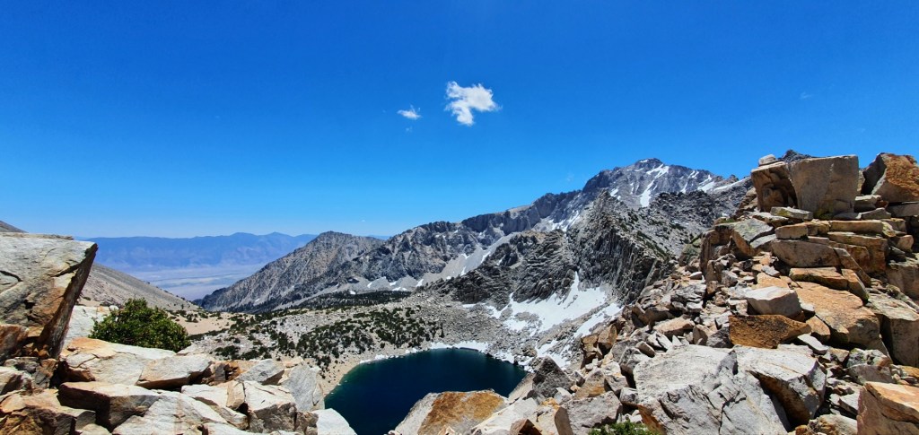
Shortly after the first lake, I pass Bullfrog Lake. It’s much larger and has deep blue waters. As I approach, the Kearsage Pinnacles stand at the other end of the lake. The trail heads to the left of these towards the pass.

After bullfrog Lake, the trail climbs towards the pass. The switchbacks become steeper and we climb above the scrub. From the pass we can see Bullfrog Lake at the bottom of the valley, with the Kearsage Lakes up valley from there. On the other side, we look over Big Pothole Lake into Owens Valley far, far below.
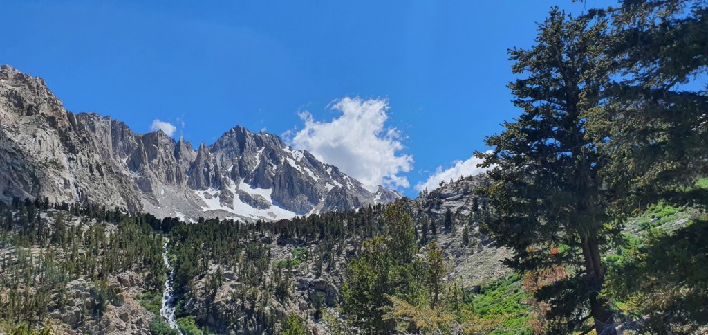
Descending Kearsage was a blast, I flew down switchbacks and past lakes, streams and waterfalls. On the way down I see picturesque scenes of alpine lakes with tall peaks above.
Further down I can see the carpark, I start to get excited for town and pick up the pace some more. Closer to the bottom, I can see individual people hanging around the park and it looks like something is going on. As I approach the trailhead, I see someone standing with a cold can of beer in each hand. The hikers from Tyndall Creek have showed up, cooler full of drinks and a vehicle to get off the mountain. They give me a ride down to Independence, and we decide to keep going from there to Lone Pine. In Lone Pine, we have an awesome night at the saloon with beers, burritos and Chinese food before turning in to the hostel.

Leave a reply to zestfuld12475e33b Cancel reply