
Today I crossed over Pinchot Pass at 12127 ft, 3696 m. I feel like my acclimation has returned, and I was able to enjoy the scenery up the pass. I covered 11.1 miles, 17.9 km, and made camp near the base of Mathers Pass, which will be tomorrow’s mission
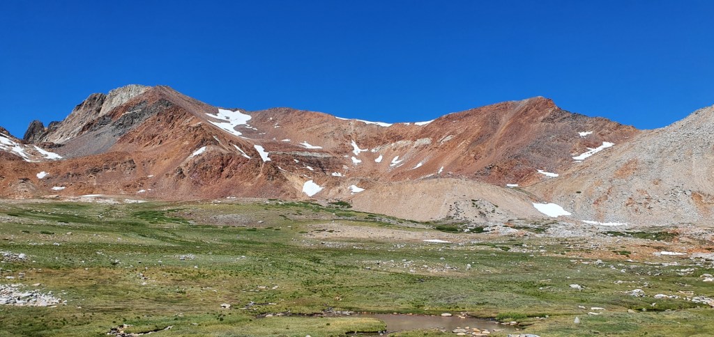
The climb this morning was a little steep, and quickly took me out of the trees. As the forest thinned, I could see more of the surrounding mountains. The contrasting colours of different rocks had me wondering how the mountains formed so close together with such different compositions of iron and granite.

After a few hours, the trail got steeper, and started making switchbacks up towards the pass. Unlike the previous passes, the trail to Pinchot Pass spent a lot of time behind a spur which hides the top from view. This means that the top comes as a surprise, just after the switchbacks become really tight and steep.

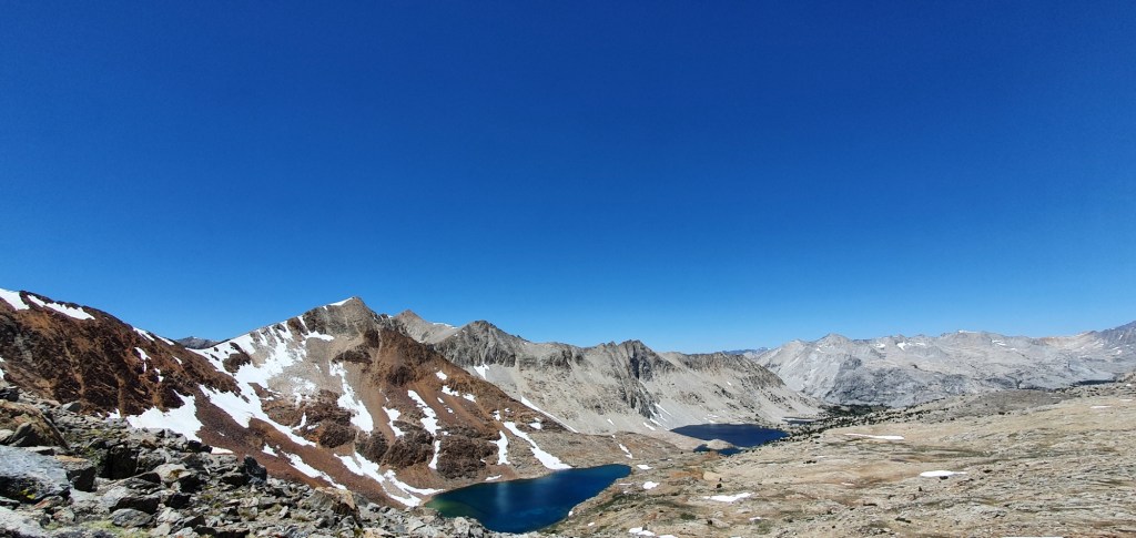
The view from the top looks back over meadows on the plateau we crossed this morning. To the north I can see large lakes, and the descent on the north face looks much more gentle than the ascent.
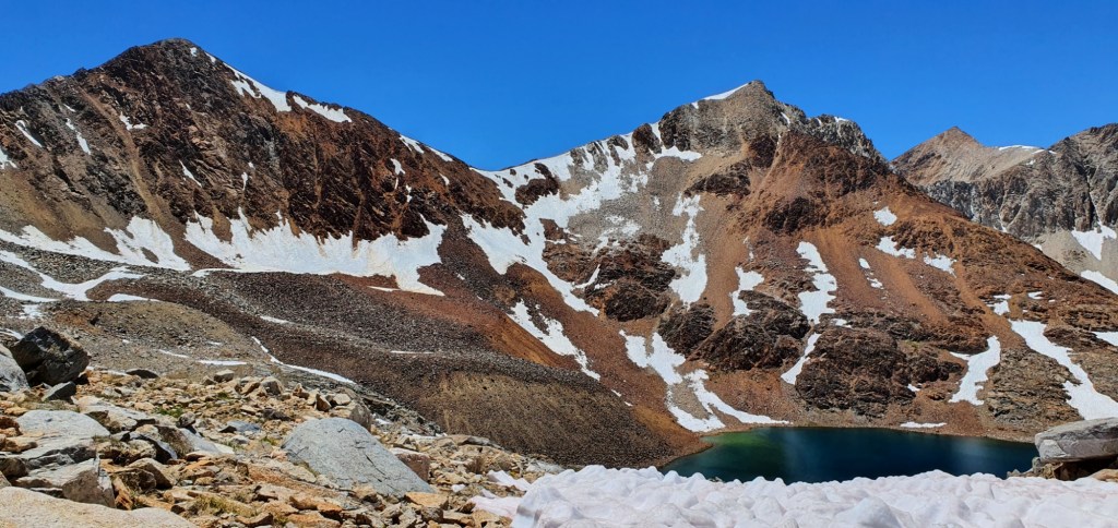
On the way down, we encounter a small amount of snow, but nothing problematic. I have no need for microspikes, and it’s starting to look as though I won’t need them too much for this section.
After getting down from the pass, the trail descends gently towards South Fork Kings River. Along the way we pass a half dozen crystal clear lakes, including Lake Marjorie, the largest.

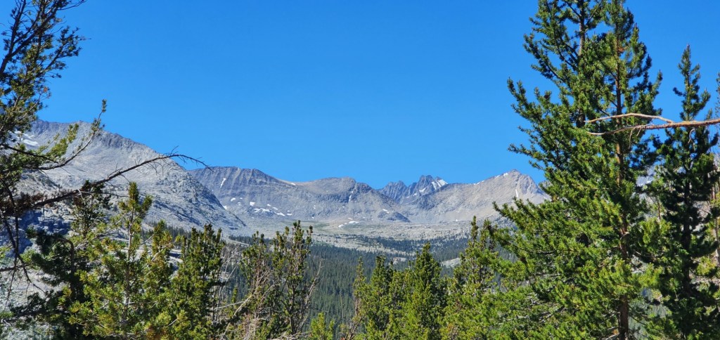
The trail descends for several miles through open meadows and past small streams. All the while, the mountains on either side grow taller. At one point, I can see the valley which I’ll be climbing up towards Mather Pass, it doesn’t look as steep as yesterday’s.

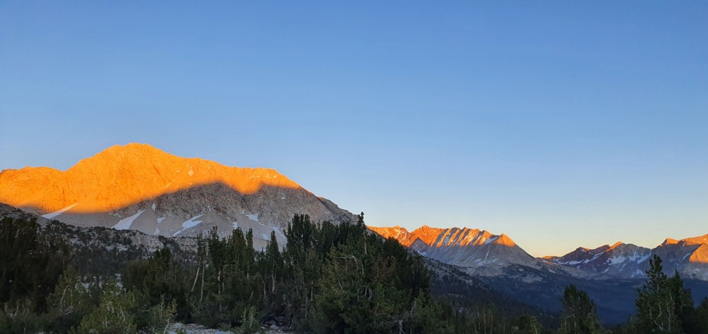
From the bottom of the descent, I climb for 2.7 miles up the South Fork Kings River. The ascent is much easier than expected and I make good time to camp. I’m camping 3 miles from Mather Pass which should mean I can get up and over the pass early tomorrow morning before it gets too hot on the climb.

Leave a comment